The northernmost extremity of our Southern African odyssey. Nestled away in the highlands of northern Zambia is a bubbling hot spring and a campsite full of travellers. How would we cope with too many people?
It’ll be a while before I post any further updates – we are about to depart Kasane and head south across Chobe, Savuti, Khwai, and Moremi. A great part of the world which we have travelled before and will return to again. Signal will be limited.
Mpika and Kapishya
After two nights we left Nsobe camp. We could have stayed longer, the boat trip in the swamps was truly a highlight of the last six months, but on land the game was more sparse.
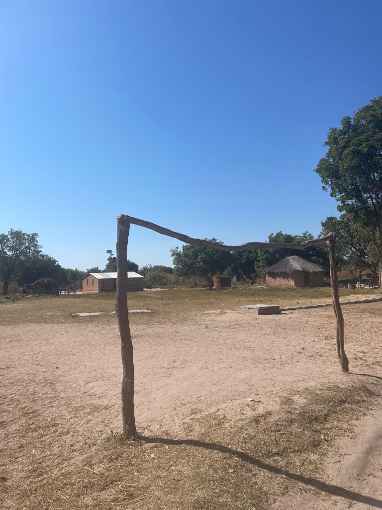
We braved the gauntlet of children once more. This time, as we drove slowly through the village, some of them chased our car. At one point one of them managed to undo the ratchet strap on our braii grid that was attached to the spare tyre on the back of our car. We stopped and Sarah jumped out to tell them off. The children sprinted away, terrified of the angry white woman shouting. We continued through the two-hour long village to the chorus of primary school aged “how are youuuuuuuuuu”s.
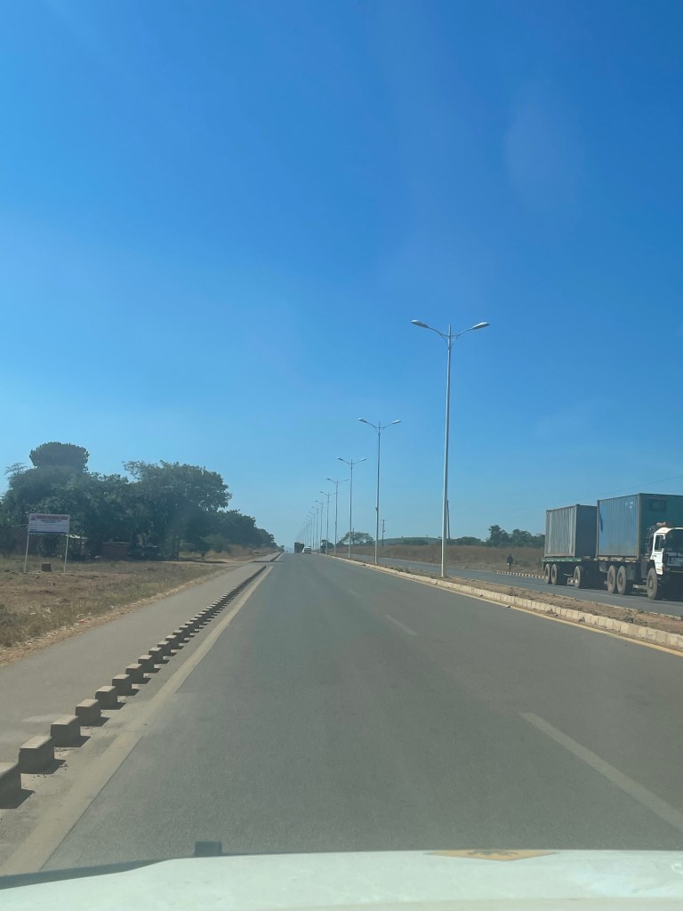
The T2 north to Mpika was 45 minutes of fun, weaving in between lorries and occasionally missing them by a few centimetres. We have still not yet found a corrupt speed trap, and we are still hopeful to never find one.
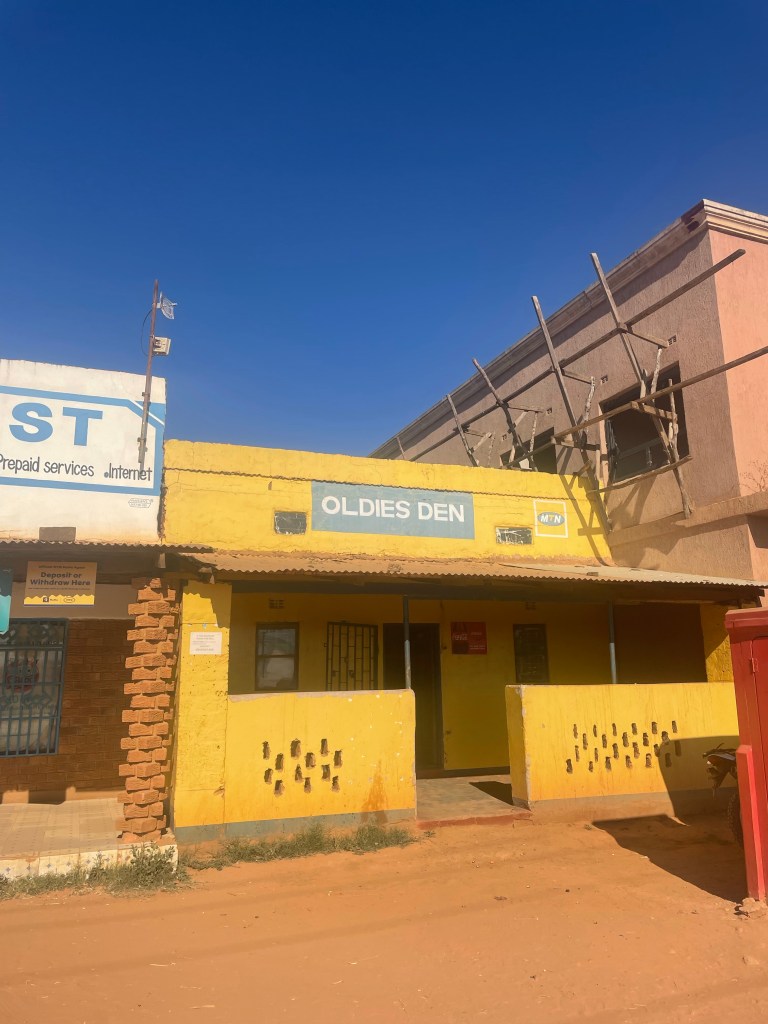
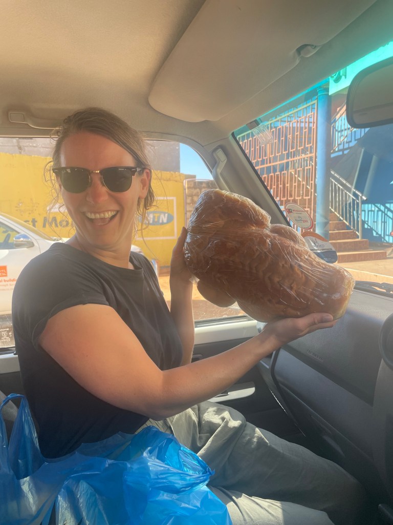
Mpika has a brand new Chinese built dual carriageway through the centre. The speed limit on which varies between 40 and 60 km/h. At least there are new signs to highlight the limit. We bought a few extra supplies at Gm trading and filled up with diesel. The highlight was the crocodile shaped bread we bought from a smaller shop, a bargain at 30 kwacha (90p)
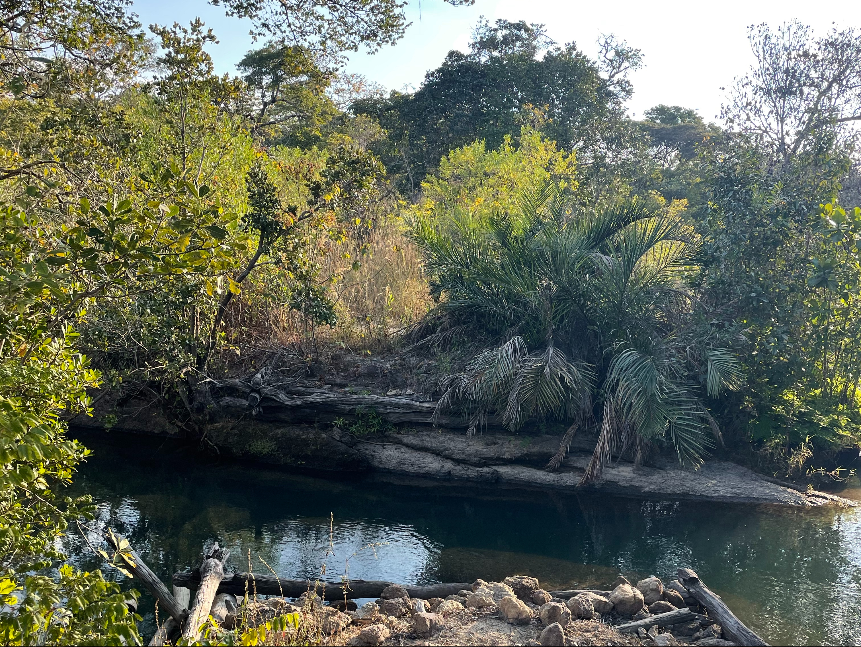
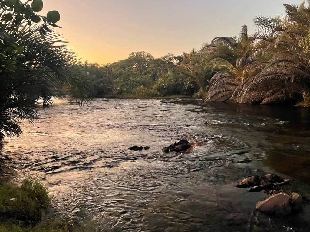
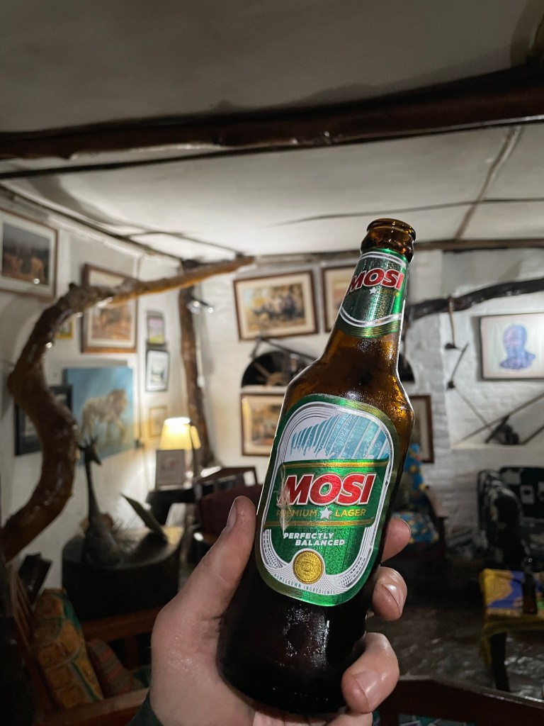
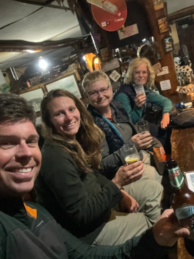
Kapishya hot springs is the busiest camp we’ve been to full stop. There were four other groups of campers in the large lush green campgrounds. The campsites were on a grassy slope running down to the fast-flowing river. We were lucky enough to secure a riverside spot at the far end of the lot.
Mark Harvey runs the lodge, and it has the vibe of a rural British country pub with a distinctive African safari lodge feel. Photos of pubs in Primrose Hill adorn the wall behind the bar, as do motifs to his beloved Tottenham Hotspur, and plenty of disparaging wife jokes. Just like a rural British pub. We had dinner here, as arriving after sunset we were less bothered about a fire and a braai. Mark keeps a menagerie of pets, including four or five boisterous Dalmatians. I didn’t care to count as they were romping noisily around the bar area after closing time. To be fair we asked to see them, so I can’t complain.
Wildlife:
Dalmatians
Distance: 292km
Cumulative Distance: 5,810km
Shiwa and a seriously bad wrong turn
Morning at Kapishya was cold, and what’s more interesting is that it was cloudy and fully overcast. The low clouds almost looked as if they might bring a spot of drizzle, but none arrived. Maybe it’s because here we are up in the highlands of northern Zambia, 1,500m above sea level and with low rise rocky outcrops perhaps forcing the clouds. Anyway it was a new Zambia to us.
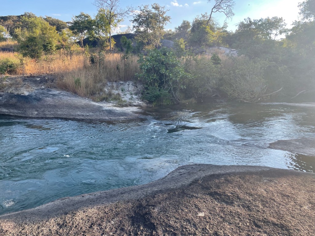
The hot springs are glorious. Like a warm bath, steaming in the cold morning air, we had them all to ourselves. The bar offers slices of fresh cake served with coffee grown on site. The French press provided was a ridiculously strong concoction, but perhaps fate already knew we’d need it today.
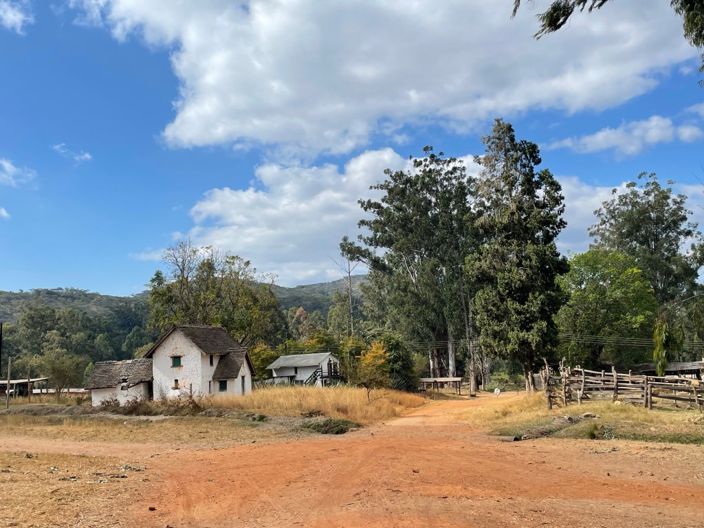
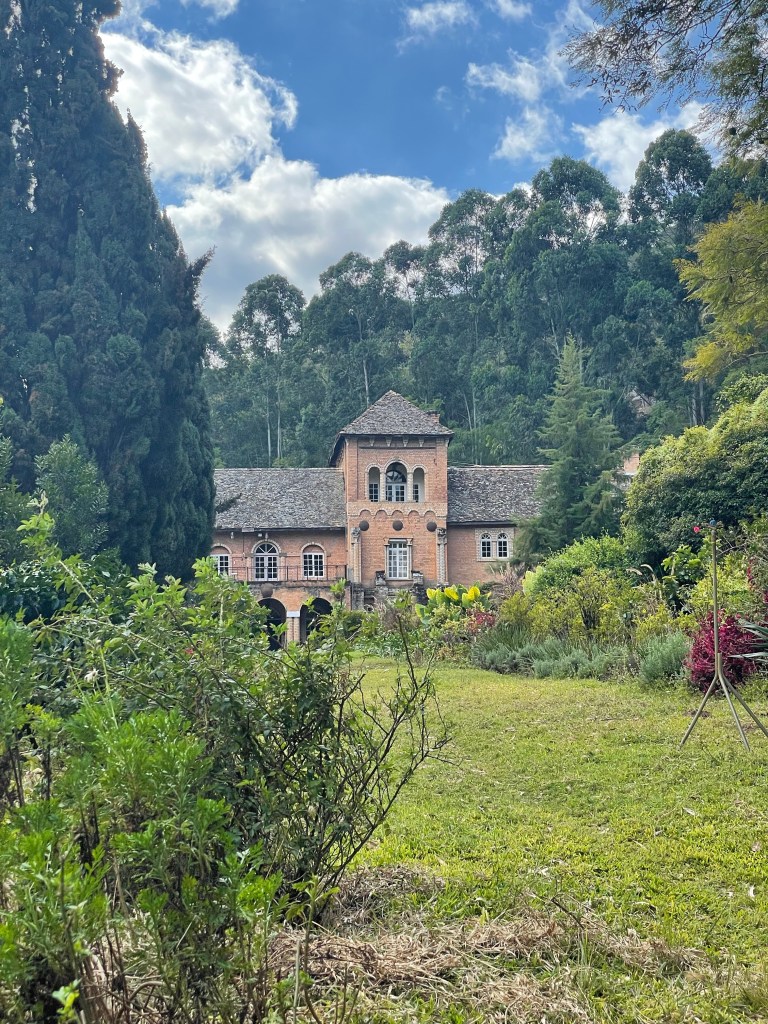
Africa house at Shiwa Ngandu is a big draw, the colonial estate built in the early 20th century is an impressive sight. Being Sunday it was closed and no tours were offered. We did however manage to drive up to the gate and peer into the garden to view the facade of the house. The estate is set up in the highlands, amongst glades of large trees, and overlooking a small lake a few kilometres away downhill. From here the road climbed even higher to its junction with the T2, at what must have been approaching 2,000m above sea level.
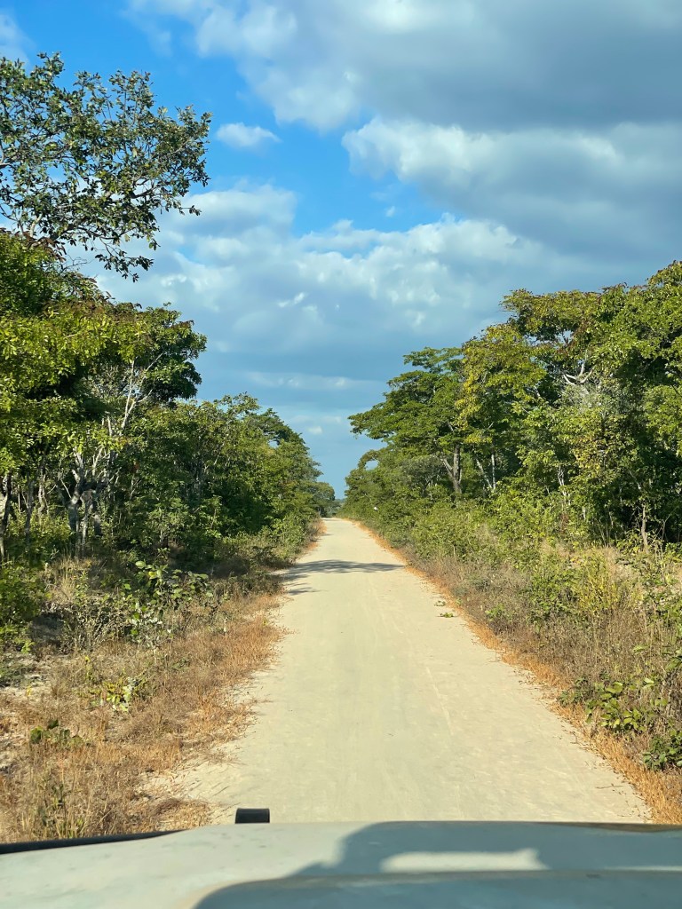
Do not plan to drive on the T2 after dark. It’s a great opening gambit for any day, and possibly just a great rule for life. In fact spend as little time on the T2 as possible. The road is full of huge lorries and tankers heading up to Dar es Salam on the Tanzanian coast. This is the major supply route for the whole of Zambia, and possibly beyond. The road is tarred single carriage way, although in many places there is more gravel than tar. The road surface is often narrow, with precipitous drops off either edge into potholes and gravel. Many sections of the road are littered with broken-down, overturned, and otherwise beaten up and abandoned lorries. On previous legs of our journey we had seen at least five incidents which looked pretty un-survivable.
Leaving Kapishya we spoke with a lovely Austrian couple who mentioned the road to Samala camp and the North Luangwa National Park was in bad condition. Upon reaching the T2 we had the option: to turn south along the T2 and follow the conventional route, or to take a risk on the gravel road heading straight on. Our tracks for Africa map, corroborating maps.me, and our Land Cruiser’s inbuilt GPS, this was an alternative route. We decided to take the risk, and head into the unknown.
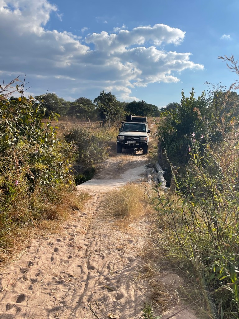
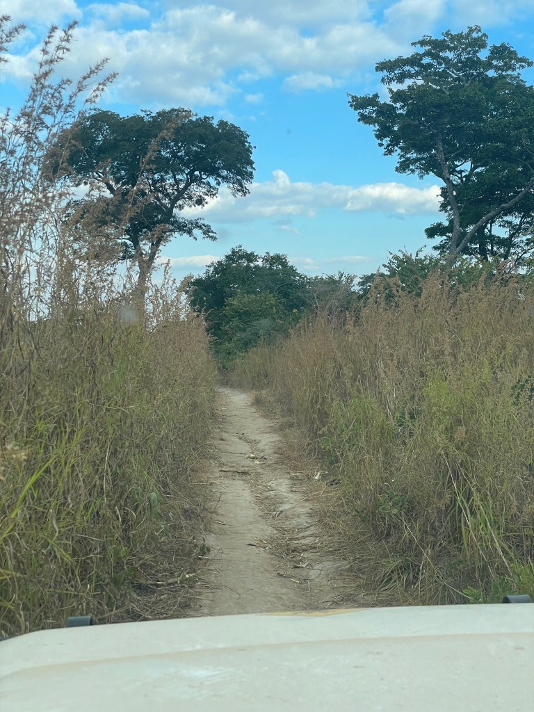
The first 20km or so was some of the smoothest gravel road driving we had experienced, and we rolled through small villages filled with waving locals enjoying their Sunday. After about the third major village the road began to narrow, and to be honest started looking a lot like a footpath rather than a road. We crossed a collapsed concrete bridge precariously balanced on broken supports. We proceeded down the footpath with stumpy bushes scraping each door. We passed a gathering of daring locals, and then we crossed a small stream. We felt like quite the adventurers until we met the Lufila river. There, we stood and looked at a broken bridge. There was no mistaking the fact that this bridge was impassable, and had been for some time. There was at least a five metre gap between river banks, and the bridge was no more. The river was far too deep and fast flowing to ford. We had no option but to turn back. We were maybe 10km from our destination according to our maps, but had no way of reaching it. The only option was to return all the way back to the T2 and attempt the other route. It had taken us 1 hour 20 minutes since leaving the road, and it was now 16:30. Exactly an hour til sunset. Do not drive on the T2 after dark was our rule, and if we weee going to make it to Samala we were cutting it fine. Of course there was the second option of returning to Kapishya, but that was also three hours away by now. We opted to head to Samala, even though it meant some driving of unknown dirt roads in the dark.
We sped off back the way we had come. Across the small stream, up the steep hill, along the footpath, past the crowd of villagers. It was perhaps the villagers waving more frantically, trying to cadge a lift to the next village, that probably made Mike stop to look. One of the Jerry cans stowed in the roof of our Land Cruiser had fallen off in the rush, in that moment we realised we’d never make it anywhere before nightfall, and we felt deflated. We needed the fuel to make it to Mfuwe, the next fuel stop, which was still 500km away. There was no other choice but to return back down the footpath to search for the fallen jerry. By now the villagers had descended on our vehicle, curious to find out what on earth we were up to. We politely exchanged greetings with the village elder, his eldest son seemed to speak the most English tried to communicate with us. Our broken Nyanja seemed to do much better at getting the message across. Only the younger son of the elder seemed to ask for any money. We tried our best to explain about our lost diesel can, but when we turned round their faces were still full of bemusement. We had thought they might rush off to try to help us find the can, or keep it for themselves, or seek some kind of compensation for us trashing their village footpath, but they politely waved us off. We retraced our path 15 minutes towards the little stream crossing, there was no sign of the fallen diesel on the most bumpy sections of the roads. As we got down to the stream a man on a bike was waving frantically at us, he had our fuel! Goodness knows what he was doing cycling around that area, but we were happy to see someone else. He introduced himself as Mr Matthews, he was wearing a Manchester United shirt. We left him with 100 kwacha (£3) and a Manchester United pen.
We set off with even more haste, the group of villagers who had approached his previously had vanished. We were certain they would be there out of curiosity if nothing else. We raced back to the T2, and reached the junction within an hour. It was still too late, dusk had come and gone, and the only light left was from our headlights. We resolved to press on, south for 30 minutes on the main road, and then another 90 minutes of dirt road towards north Luangwa.
The lorries on the T2 were just as terrifying as feared. Driving towards us down the centre of the tarmac, lights on full-beam. The edges of the road were lethal in places, and potholes smattered around in the most dangerous frequency. Just far enough to get complacent enough about the smooth road surface until it was broken apart completely again. Pedestrians were scattered among the sides of the road, in dark clothing they were impossible to see, small groups would be walking miles away from any visible signs of habitation. There was every danger that swerving to avoid a lorry could take us straight into a group of them.
We counted down the kilometres, and barring one significant detour, we made it to the junction without further incident. Everyone breathed a sigh of relief as we realised we only had an hour and a half of dirt road left. Comparatively an easy and safe ride.
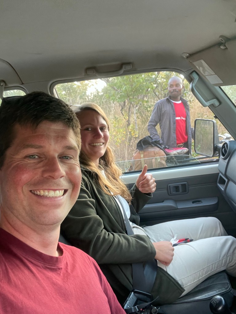
Samala camp is on the western edge of the North Luangwa national park, and we arrived at ten past eight. Emmanuel was staffing the camp all on his own, when he read out Sarah’s name inquisitively we all breathed another sigh of relief. He had been expecting us all along.
Wildlife:
N/A
Distance: 181km
Cumulative Distance: 5,991km

Leave a comment