Is it possible to have spent too long in Southern Patagonia? is it possible that I’m too far behind on this blog?
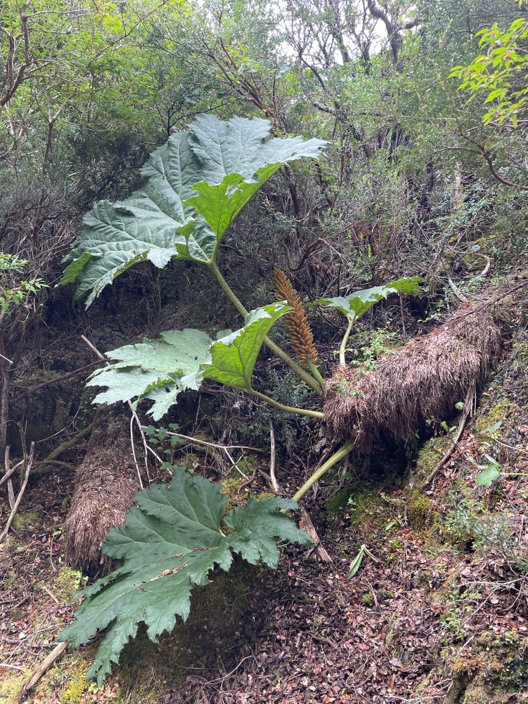
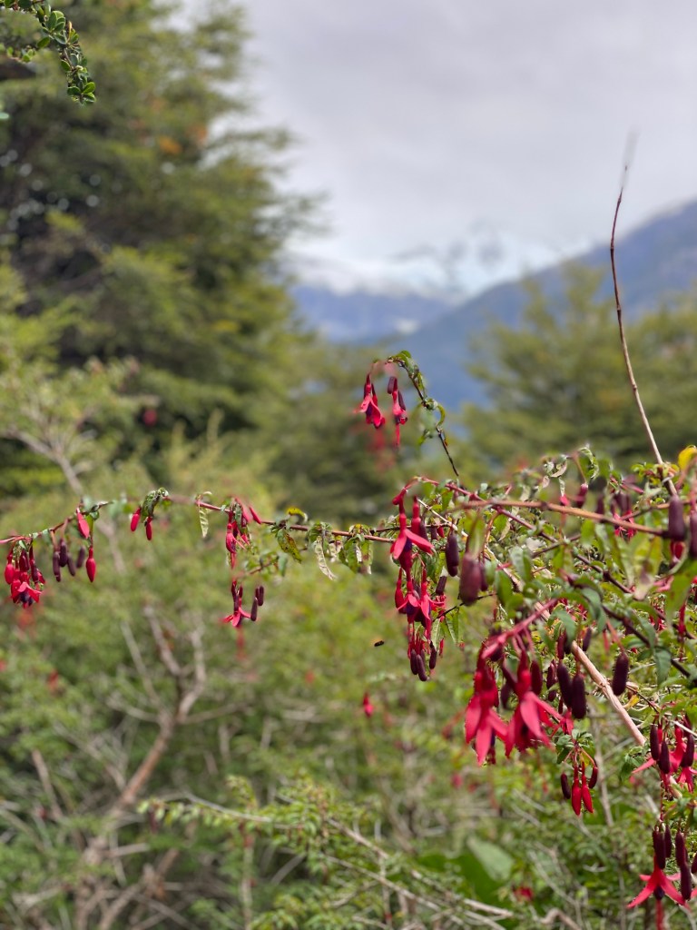
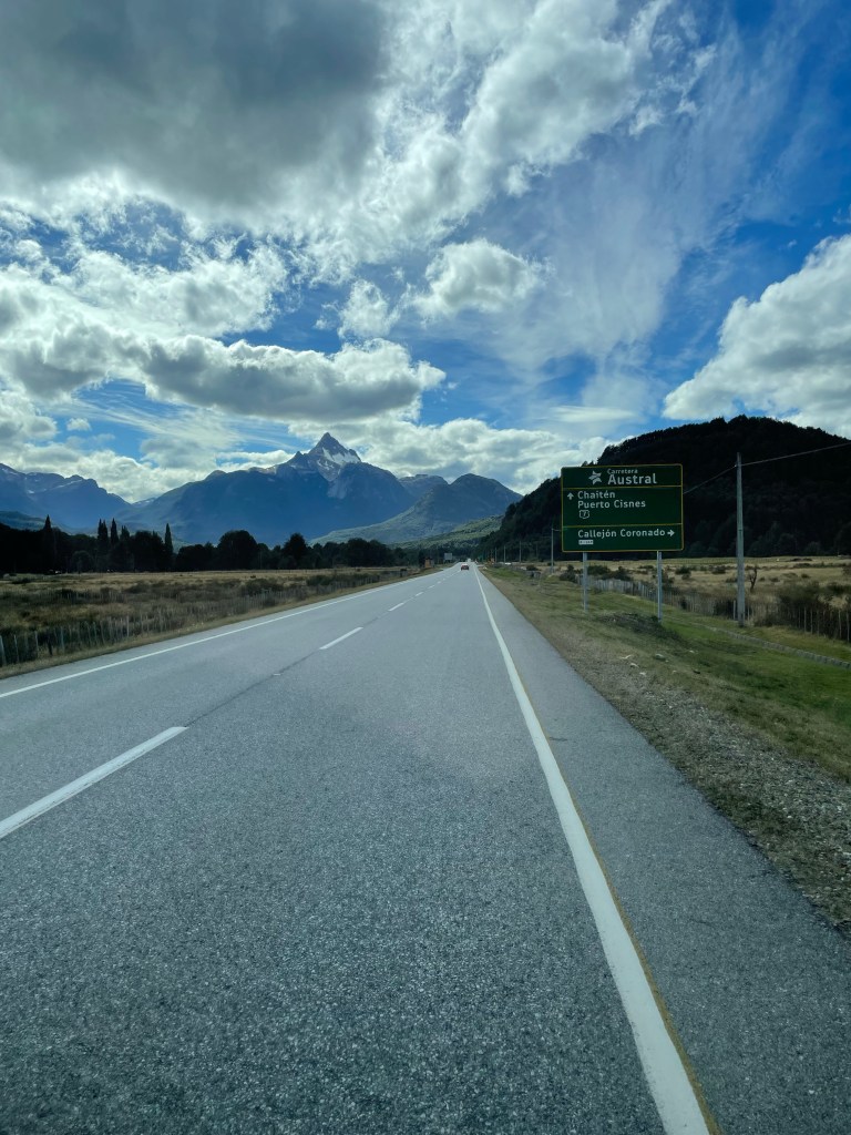
Chile promises a lot with its stable currency and rigorous border checks. There’s a whiff of a superiority complex amongst the officials. Is it justified? We’re about to find out, taking on part of the world famous Carretera Austral. It’s much greener over this way, roads lined with giant leaves Chilean rhubarb (Nalca) and flowering fuschias. Clearly very wet, will the weather hold for us?

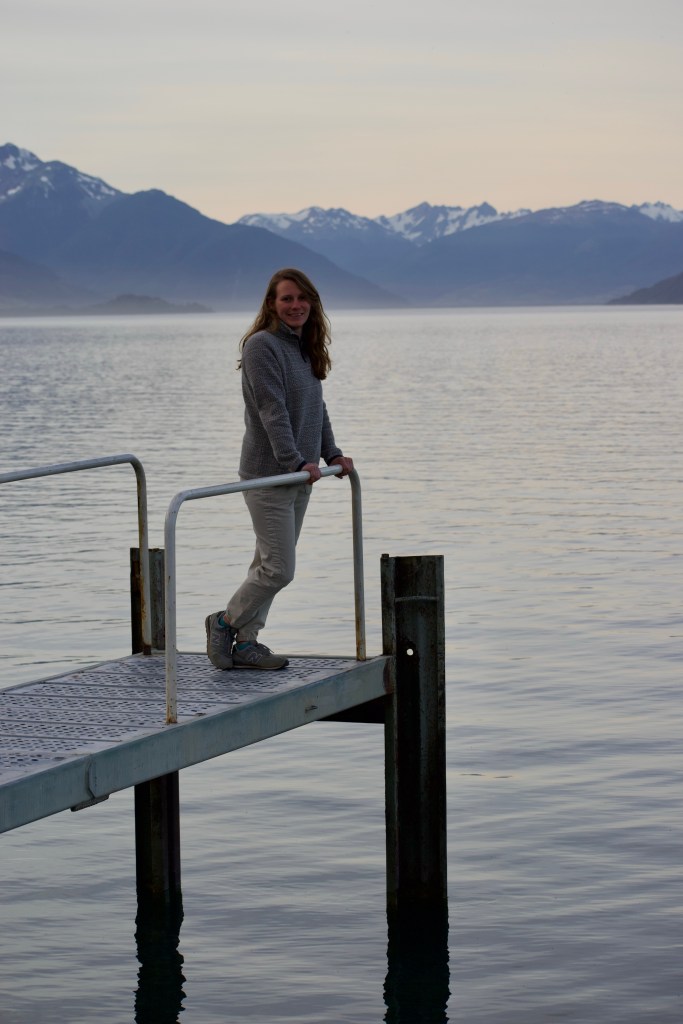
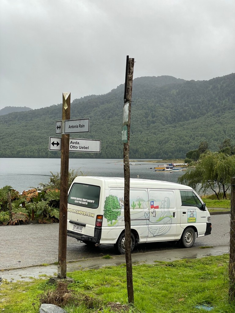
Lago con dos nombres
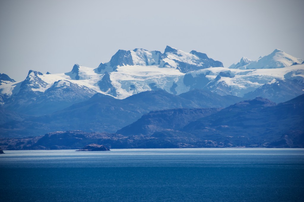
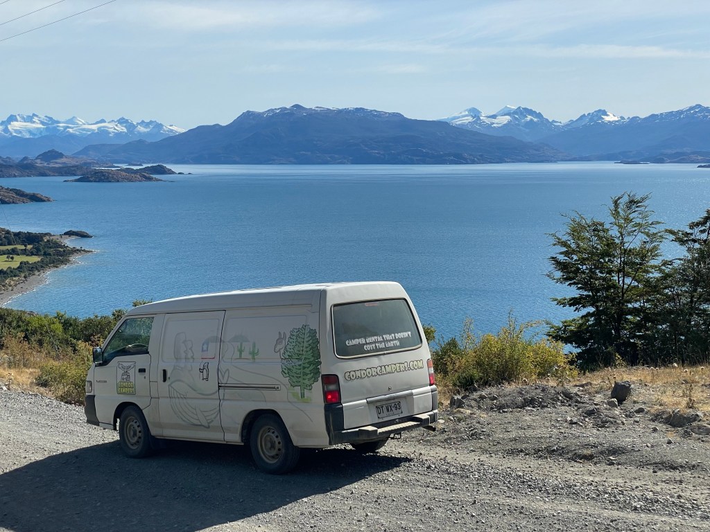
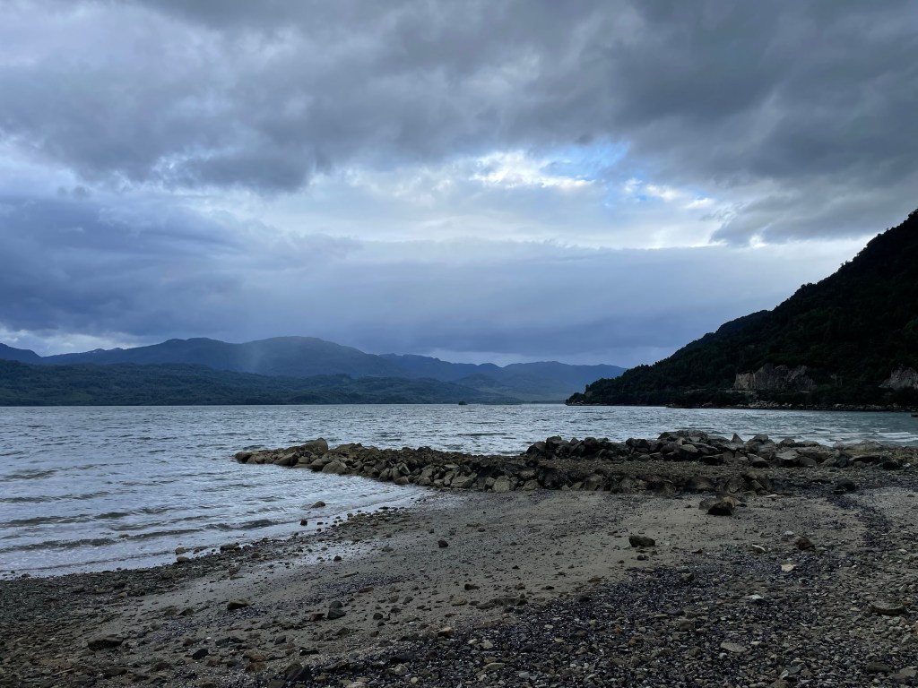
Turned out to be one of the most scenic days of the trip so far. Between Chile Chico and the Carretera Austral is a stunning drive along the side of one of the largest lakes in South America, and one with two names too. Lago Buenos Aires in Argentina, and Lago General Carreras in Chile. We drove all day and never left the side of the lake.
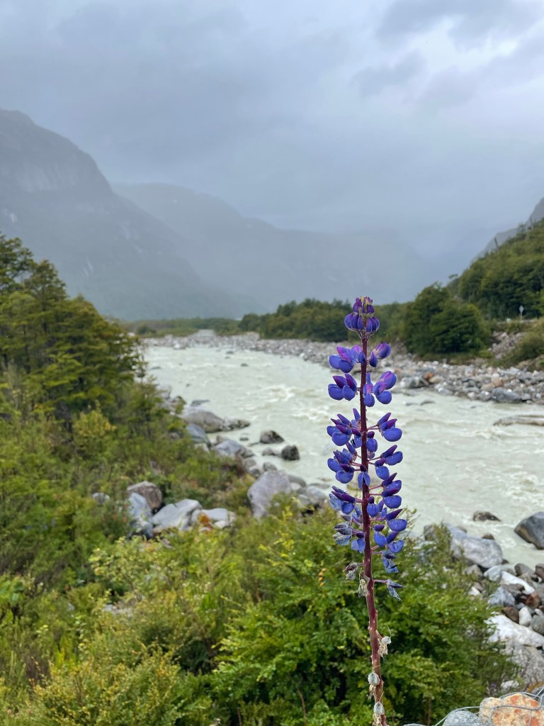
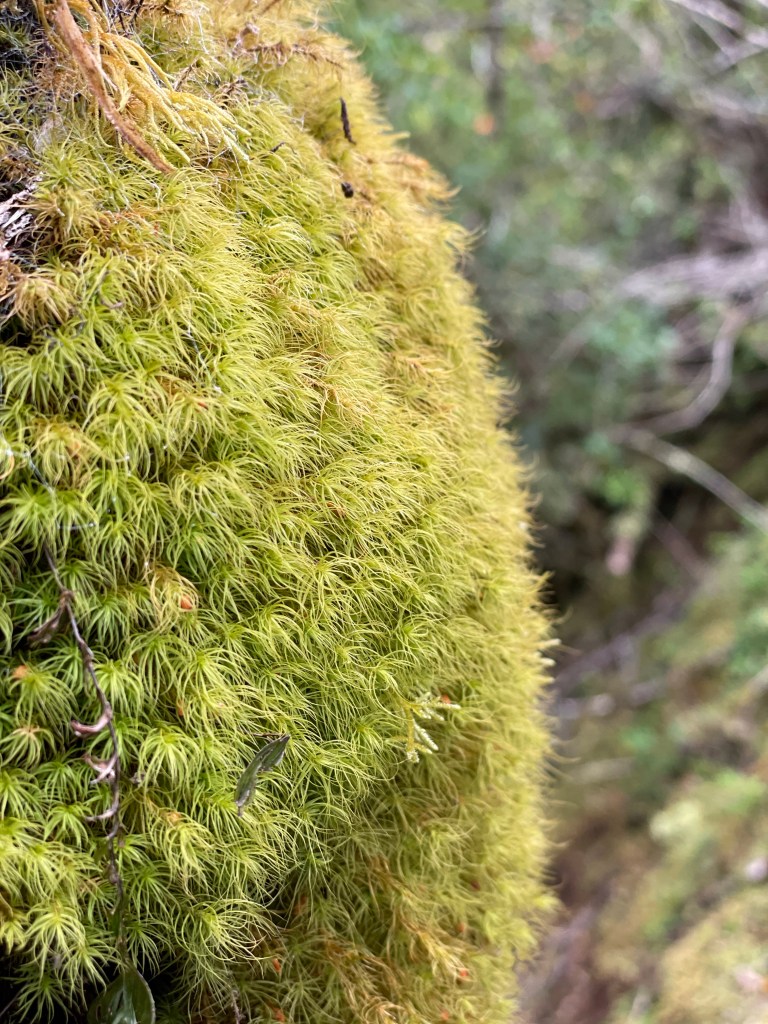
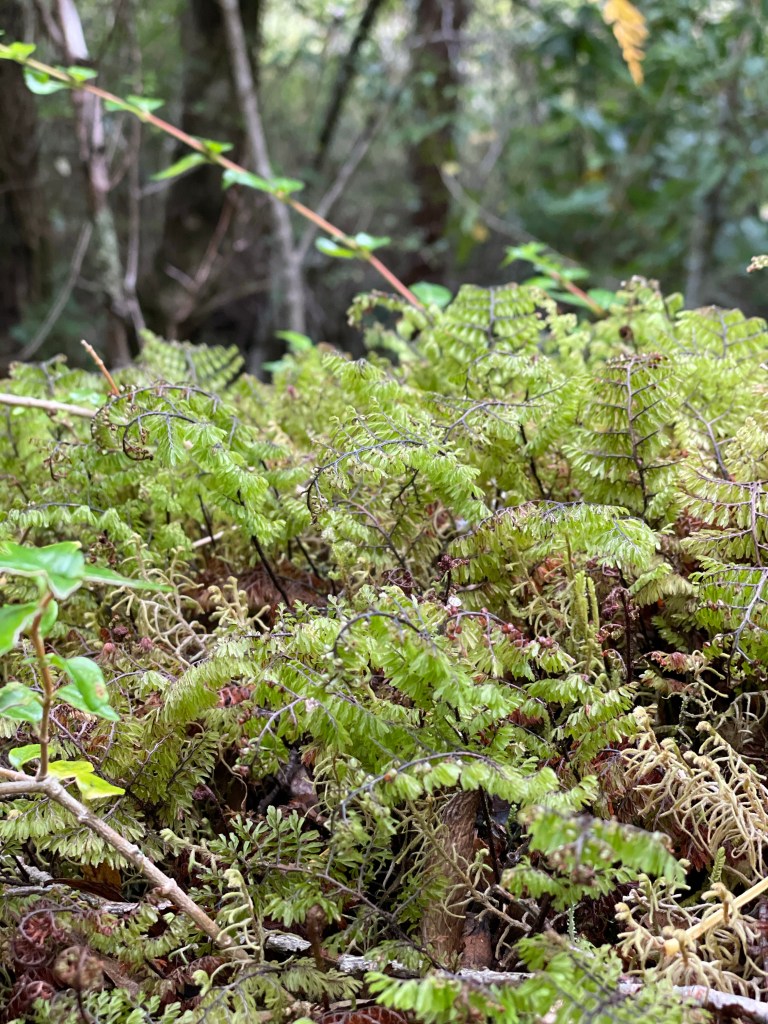
Coming off the Patagonian steppe and into the valleys of Chile is a step change in scenery. There’s much more diversity in the flowers and trees, and many more birds around too, it feels like a different country (spoiler: it is).
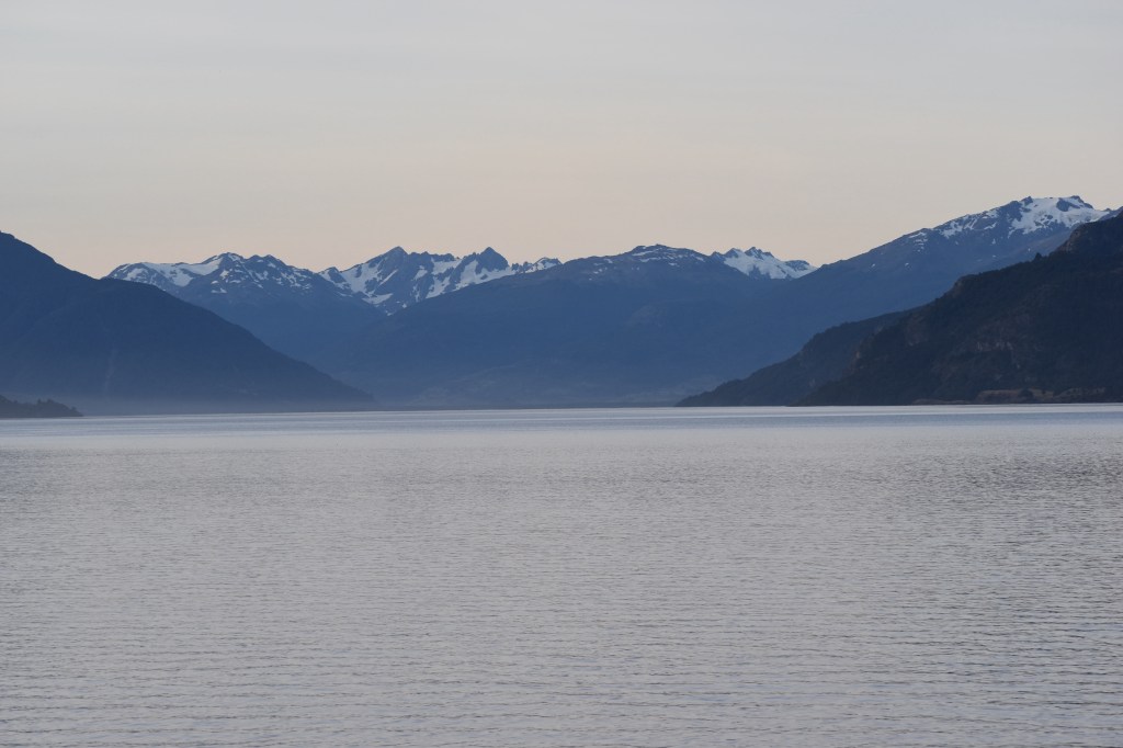
We were treated to a beautiful sunset over the lake at our campsite in Puerto Rio Tranquilo. One of the few windless evenings in this part of the world.
We are Exploradores
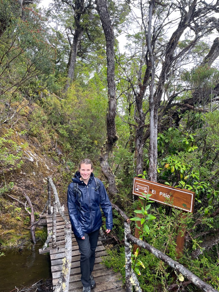
Rain would come later, so we started early down the Exploradores valley. 52km down a narrow gravel road, and to make matters worse a 20 minute stop at some roadworks. We made the most of the time chatting to the stop sign man in our broken Spanish in an attempt to improve.
The road is one of the most scenic valley drives I’ve ever been down, after every turn there are more spectacular blue lakes and snow capped peaks.
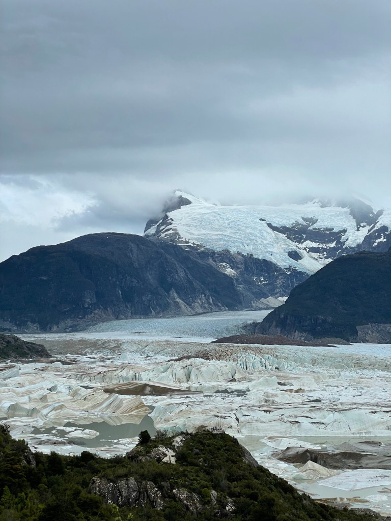
Entry to the Exploradores section of the Laguna San Rafael national park costs 11k CLP (£9ish) each. For that you get access to the 5km trail up to the glacier viewpoint. Nobody ever said Chile would be cheap.
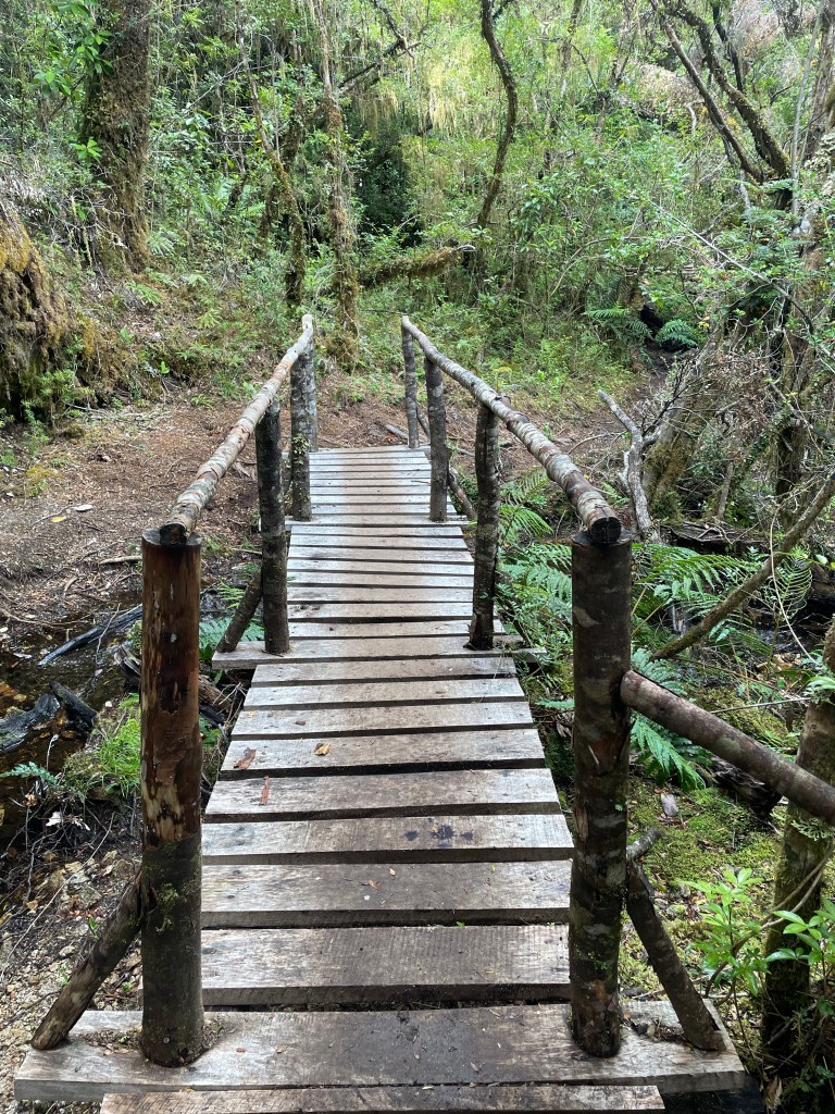
In fairness most of the journey consisted of painstakingly constructed bridges, ladders, and boardwalks along the steep forested bank of the Exploradores river. After ascending and descending the piles of moraine multiple times we reached the highest viewpoint overlooking the whole glacier.
Glacier Exploradores is at the northernmost tip of the North Patagonian Ice Cap (campo de hielo norte). On our flight down to Punta arenas we flew over this region of ice and snow and could appreciate how vast it was. On the western fringe of the ice cap is the San Rafael glacier, which reaches the sea, and is the closest glacier to the equator to do so. Our visit was limited to the Exploradores valley, but we had a spectacular view of the glacier and us the place almost to ourselves.
On the hike up to the viewpoint Mike caught a brief glimpse of a black hummingbird. Too brief to catch a photo, or for Sarah to verify its existence. So you’ll just have to believe him.
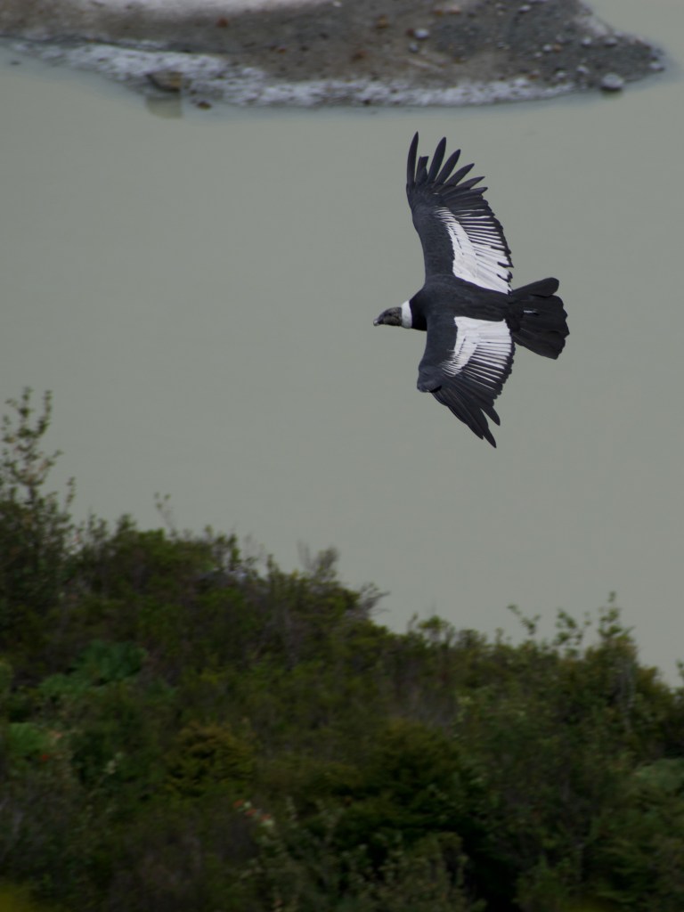
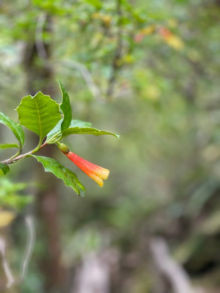
The rain came quickly, and soon it was time to scurry back into the trees to avoid the worst of it. Our efforts to spot the abundant birdlife in the woodland had been scuppered, so we made our way back to the van.
After 52km on the rough gravel road back to Puerto Rio Tranquilo we had earned a slice of cake. La Fogata obliged with an enormous slice of carrot cake and raspberry tart. Sadly we couldn’t stay for the spot roast Patagonian lamb which Sarah had teasingly decided to sit right next to for ‘warmth’.
2.5 hours in the heavy rain on terrible gravel
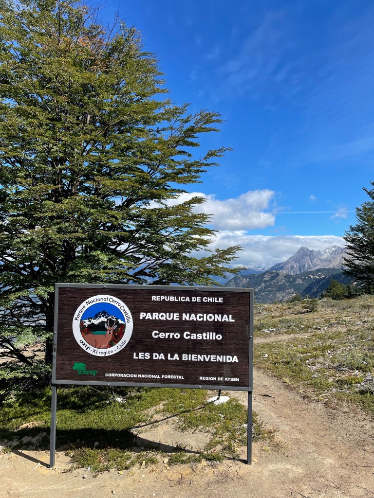
Cerro Castillo Hike
After the terrible rain the night before, the morning scene at camping Nires was cold, but pleasant.
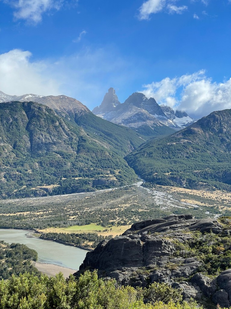
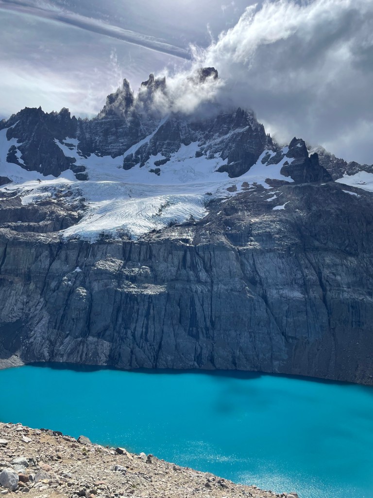
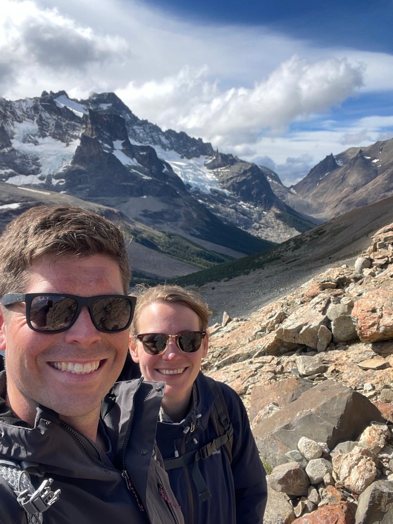
Today was the best day of weather for the week, and we set off to hike up to Cerro Castillo, or at least the glacial Laguna below the main summit.
The National Park charges a fee for the hike, 16k CLP per person or £13. Which, for a walk up a mountain, seems excessively steep.
Although as with Exploradores and national park Laguna San Rafael, the trail was well kept and had well built infrastructure such as toilets and showers along the route for hikers to use. Although this doesn’t quite go so far as to justify the price. Halfway up the mountain there was even a check point checking tickets!
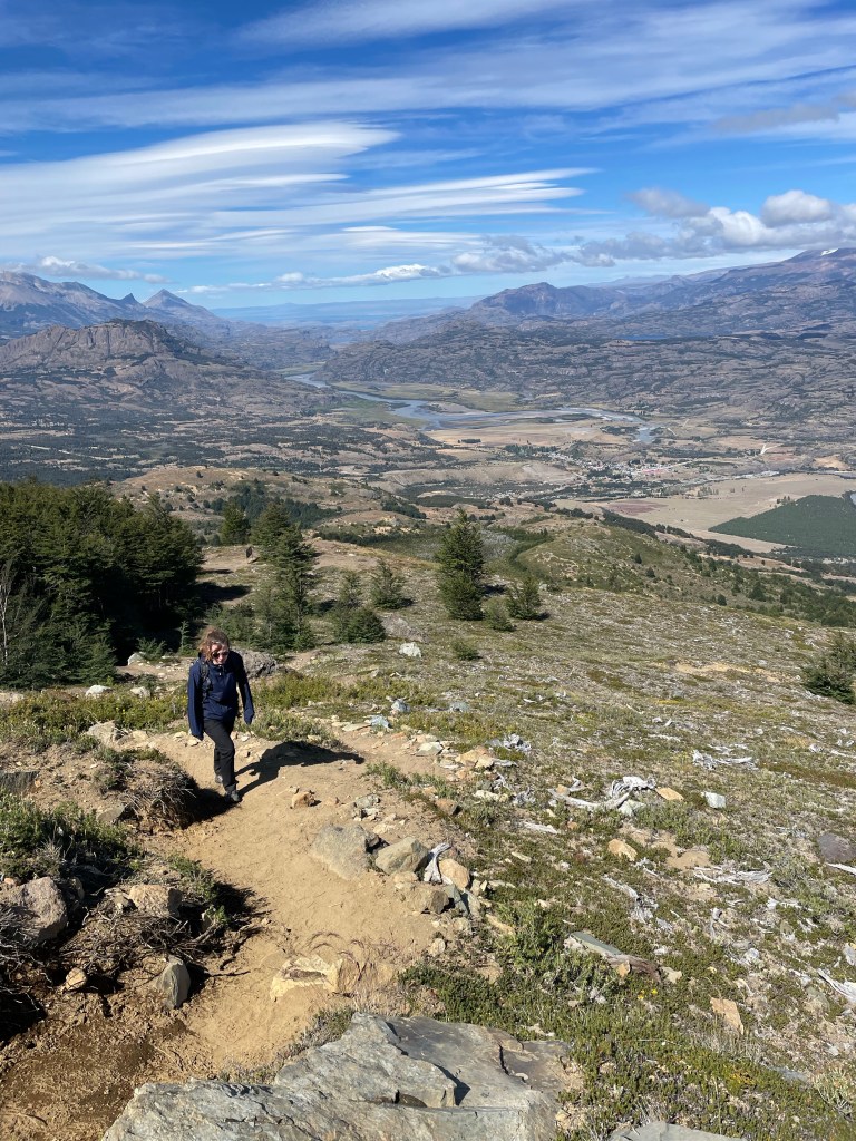
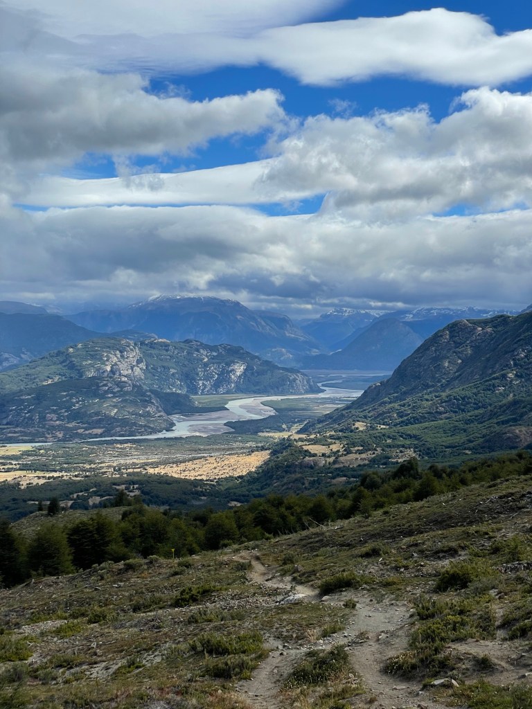
The hike itself was up a steep mountainside, this first portion through attractive austral woodland, and after 2 hours of climbing we found the checkpoint. After this point it was only a further 45 minutes to the mirador, but the scenery dramatically changed. At over 1,000m in elevation the wind was much colder, and the landscape rocky and open. We reached the lagoon after 3 hours of climbing and sheltered behind a rock to have lunch.
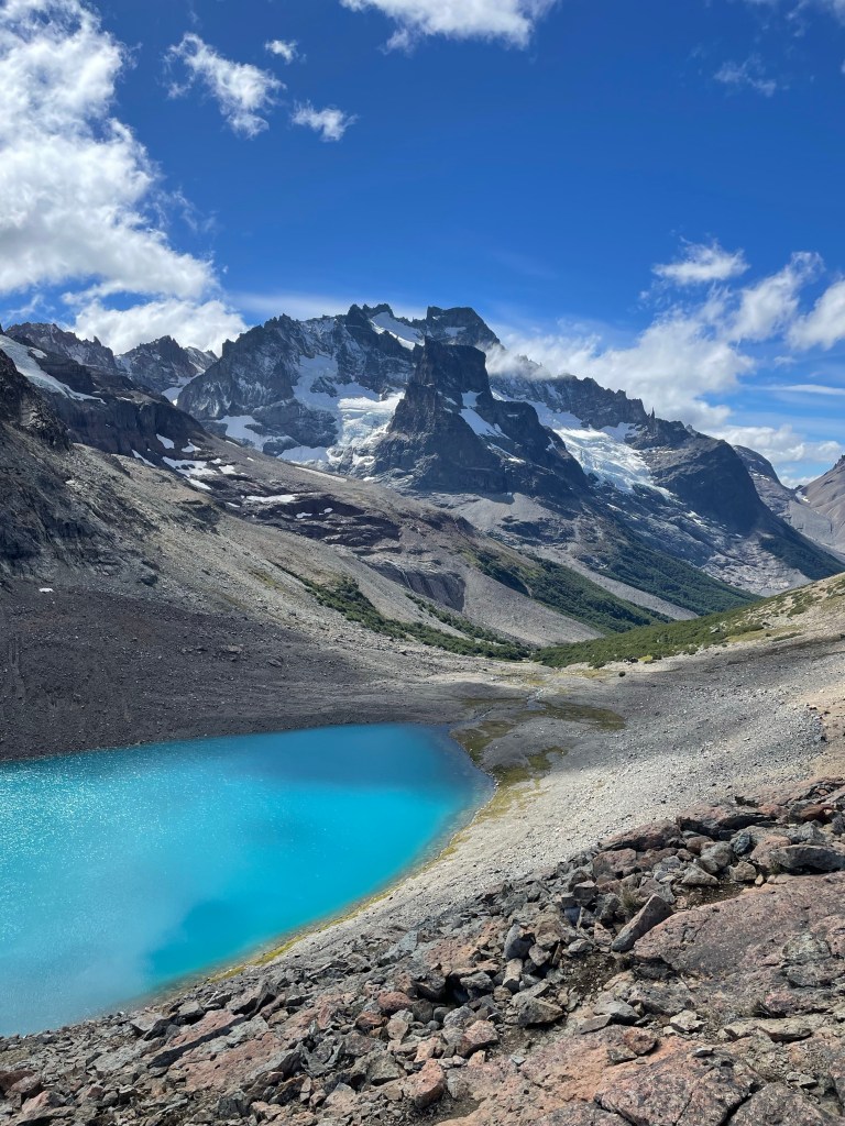
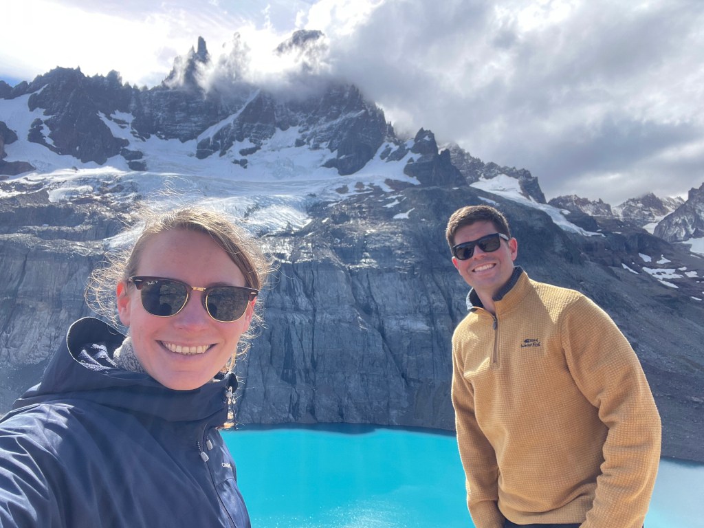
The view was spectacular, a glacial blue pool with a small glacier hanging effortlessly above it. On top of the glacier were the spiky crenellations of a castle like mountain. The summit of which remained ominously shrouded in clouds. Further snow-capped peaks could be seen down the valley.
As tough as any of the El Chalten or TdP hikes, this one was perhaps the most enjoyable. The crowds were not here, and the few hikers who were friendly. As mountain scenery goes it was just as picturesque as the peaks and glaciers further south, but without the tick-box cachet.
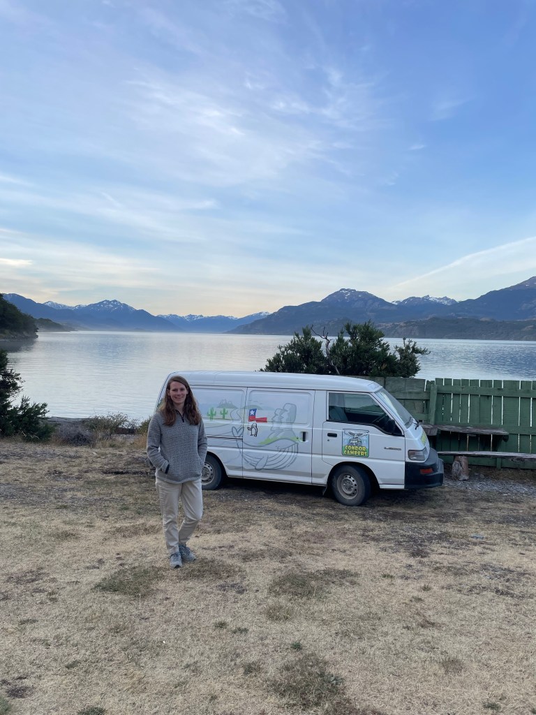
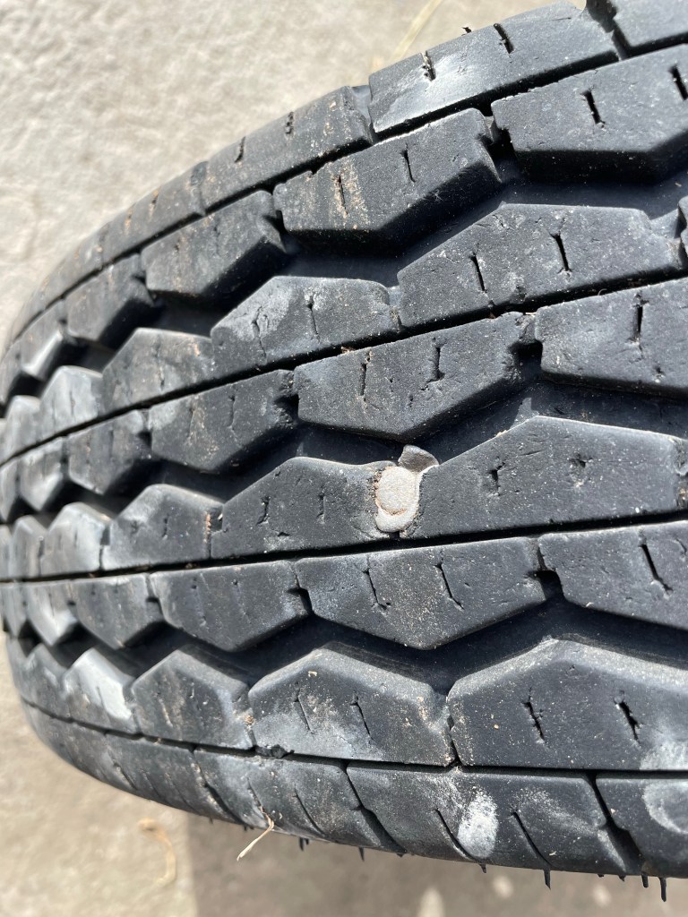
We had a spare tyre to replace, so Coyhaique was our stop for the evening. The largest town in the area the place was the biggest we’d seen since Punta Arenas. We had dinner at the Casino de Bomberos, the fire station. All firefighters in Chile are self funded, and the restaurant attached to this fire station helped to fund the firefighting force in Coyhaique.
El Camping in Coyhaique is also highly recommended.
Finally. The streets at the very centre of Coyhaique are arranged like a pentagon. I feel like this is a fact you need.
Back to Argentina
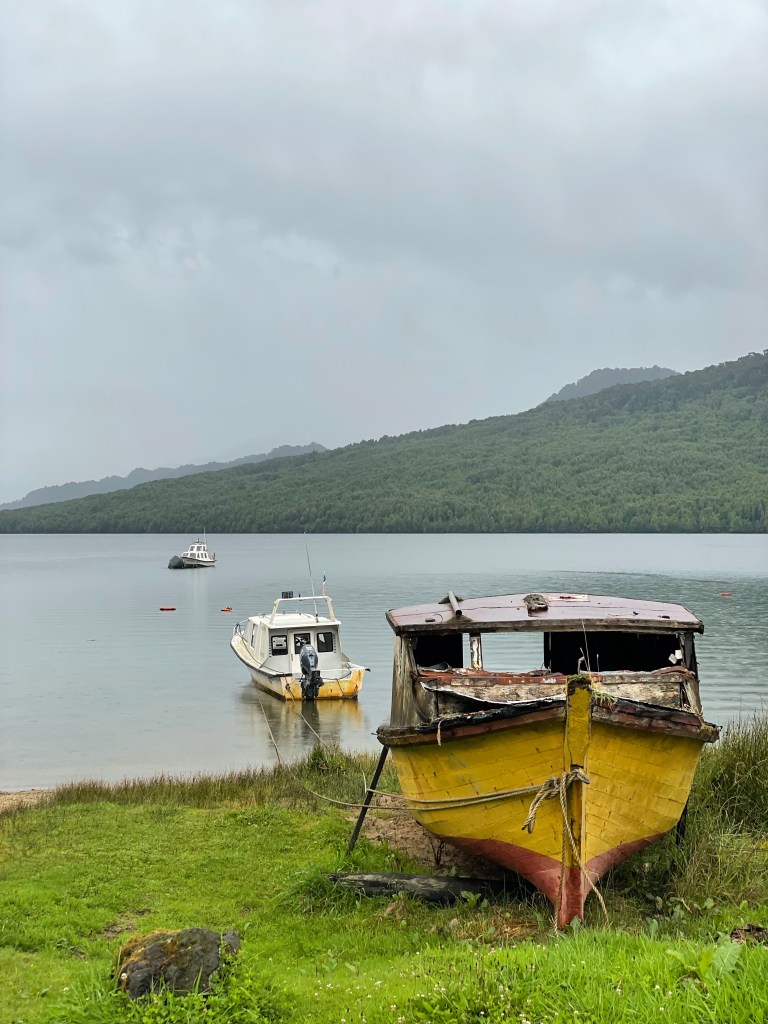
It rained and rained and rained. At Puyuhuapi it started to rain, it was still raining at La Junta, and by Futaleufu it was even worse.
The drive was mostly stunning, from what we could see between the clouds. With no end in sight, we aimed for the border and the winds of the Patagonian steppe in preference to being soaked in the fjords.
At Coyhaique we managed to get our tyre fixed. 8,000 pesos felt like a bargain, but then again I’ve taken more care over repairing my bike tyres in the past.
Cafe LucyMarc in Villa Manihuales was a great treat, and with our stellar Google review skills we hope to have bagged proprietor Fernando his long overdue promotion.
Queuelat National park was beautiful to drive through, and to see the ventisquero colgante (suspended glacier) hanging in the distance from the road was a treat.
We are over halfway through our time with the campervan, so must press on to the north.

Leave a comment